About this location
The Victoria Colonization Road is one of several colonization roads built in southern Ontario built in the 1850(a)s to promote settlement in what was then the frontier of Ontario. It extended from the present village of Glenarm for 62 km to the Peterson Road in Oakley Township at a cost of $17,000.
The section that got swallowed:
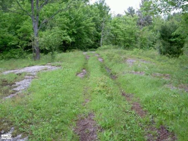
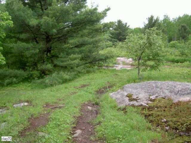
Most of the road continued north of its current terminus in Uphill in a straight line beside the Digby/Dalton Township border into what is now the Queen Elizabeth II Wildlands Provincial Park. It then followed the Black River north-east to The Peterson Road in Vankoughnet. This part of the road fell into disuse in the late 1800(a)s due to the wretched terrain of rock, forest and swamp. It was said that it was faster to walk it then it was to go by horse and buggy, as the ride was so painfully bumpy. It was one of the worst of the colonization roads in the Canadian Shield. (Parts of The Peterson and Bobcaygeon Roads also fell into disuse).
It was mainly used by the lumber companies in its early stages. It was also hoped the road would open up the eastern part of Muskoka to tourism. This section was used mainly by the Longford Lumber Company stationed in Uphill. The lumber carriages and forest fires helped destroy the bridges and corduroy parts of northern road that went over the creeks and bogs. Repairs were needed constantly. The northern section of the Victoria Road was eventually abandoned in 1928 (except for the good section of alignment just south of Vankoughnet). The area became more flooded due to beaver activity just north of where the modern rd. ends a mile north of Uphill. (Supposedly by 1967 this spot was so flooded that cars could not drive it. This leaves the question- how did the fire towermen drive up to the fire tower in the 1960s? Read below for more details).
"This vast area was once covered with forest and deeper soils prior to the logging era. Following logging, devastating forest fires swept through the area burning off the shallow organic soils leading to severe soil erosion and barren rock surfaces. Many lakes were filled, or partly filled with sediment, and have become marshes. For many years, this region was known as ‘The Burnt Lands’."
The Southern Section - Most of the "free-grant" lots along its southern portion were quickly taken up by settlers attracted by the region(a)s lumbering industry, which provided employment and a market for agricultural produce. The land, however, proved to be marginal and, as lumbering declined later in the century, the region(a)s population decreased.
Here is a map from around 1920 showing the entire road as well as many old roads and towns in Ontario: http://maps.library.utoronto.ca/datapub/digital/trentcanal8754.jpg
Between 1956 and 1998, the portion of The Victoria Road between Highway 46 (Highway 48 after 1975) and Highway 503 (Monck Road) was designated as Secondary Highway 505. From 1998 through 2000, the entire road south of Uphill was designated as Victoria County Road 35. Victoria County was restructured as the City of Kawartha Lakes on January 1, 2001.
- Only the southern and northern sections still exist. The central section just north of Uphill vanished into the vast swamps and forests as late as the 1970(a)s when it took one 2 kms up to the former Digby fire tower. The section north of the tower and up to Victoria Falls (east of Ragged Rapids) was the section completely swallowed up by nature in the 1920(a)s due to disuse and the horrific terrain. From Victoria Falls to just south of Vankoughnet the trail is mostly impassible until it opens up again for a bit as you drive into Vankoughnet.
Also check this topo map showing the Digby/Dalton line near Victoria Falls:
http://www.mytopo.com/maps/?lat=44.8323&lon=-79.05744&z=15
and then click the "My topo" link on the upper right to see the topo features.
If you look on google earth from satellite imagery you can still see the line of the road through the swamp north of Uphill.


