About this location
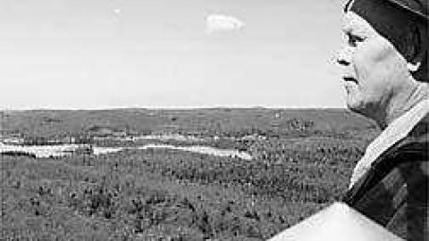
In the early 1900(a)s forest rangers were paid to patrol for forest fire by canoe and by foot. Rangers would paddle the lonely backwoods and climb mountains to view the country-side for fire. The relay back to headquarters was slow and often a useless way to fight forest fires because by the time they reported back the fires were way too out of hand.
One of Algonquin Park areas earliest rangers was the famed Tom Parris who patrolled around Oxtongue Lake. As the 1920(a)s rolled around Ontario(a)s Department of Lands and Forests decided to follow the American(a)s way of fighting forest fires- by early detection from fire towers. A fire tower was erected on the highest mountain on the NE side of Oxtongue Lake.
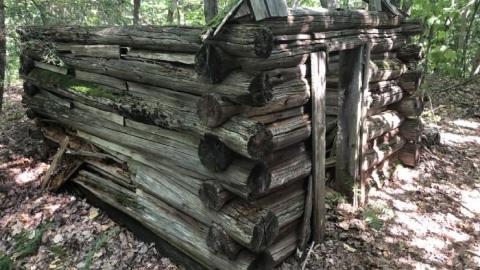
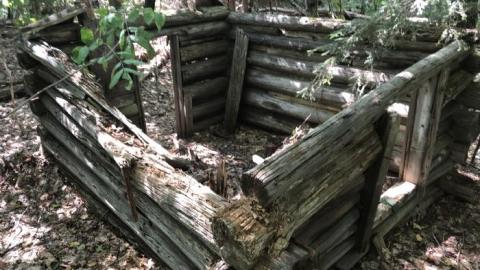
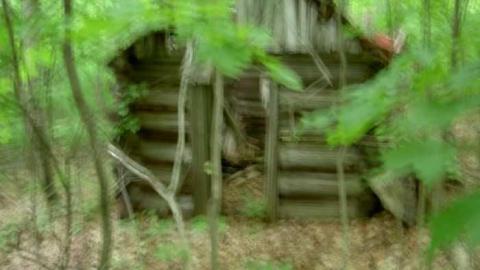
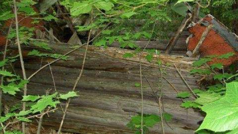
Here Tom did his patrols from. When he stayed at this tower he had a tiny log cabin built that was about 5 ft tall and about 8 ft long with a small wood stove. It was situated right beside the fire tower on the mountain. He referred to the steep climb from the bottom of the mountain, along the trail upwards, as "Heartbreak Ridge". He should have called it "Heart Attack Ridge".
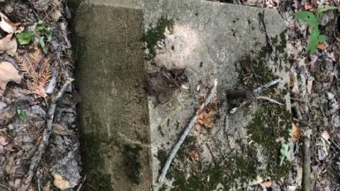
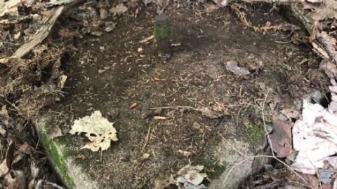
This cabin is very hard to find these days because the tree growth is so dense and because the path leading to it has vanished forever. I went by myself to find the tower footings and after much agonizing bushwacking I found the log cabin too (photo below). I had no idea the cabin was there. I am estimating that I may be the only person to have found this location in over 20 years, as there were no signs of human activity around.
I am very good with direction deep in the forest, but trust me, getting lost up there was a very real possibility.
Take the highway north through the village of Oxtongue Lake and turn on Harris Rd. just past Tom Parris Rd. and continue down a bit until you come to an old forestry access road which goes left. Follow in a ways and then bushwack left up the mountain.
For more info and photos of Ontario(a)s Fire Towers go to Ontario(a)s Fire Tower Lookouts.
To see a detailed map circa 1922 of the entire park showing all the wooden towers at the time check this link: http://www.markinthepark.com/downloads/algonquin_park_maps/1922/1922_cnr_algonquin_park_map.jpg
For a similar write-up showing another ranger cabin and abandoned fire tower look under "Hastings County", "Muskoka", "North Bay" and also "Byng Inlet". I have also added new photos of "1920(a)s fire towers in Algonquin".




13 years ago
highest point...bring spray paint to find it...