About this location
In Brock Township in the mid-1800(a)s there were some hamlets that sprang up when post offices were opened. Six of these existed back then, which today no longer exist with signage and whose populations or industry have dropped. These 7 include: Vroomanton (the largest of the seven- with its own write-up), Brock (aka Mars Corners), Ruddytown, Wick, Derryville, Layton and Pinedale.
*Before reading further I found this link of all the Brock Township pioneer headstone(a)s inspirational inscriptions :http://www.chasinglydia.com/content/view/45/26/
Brock- In 1860 it had its own post office. Its first postmaster was Andrew Hill who ran it when the location was first called "Mars Corners" where a hotel and store existed. It was located north at Hwy. 12 and Concession 7 before Sunderland came into existence. When the railway came through at Sunderland in 1871, Sunderland became the hub and the post office was moved here. The village of Brock vanished from the map.
Ruddytown- James Ruddy settled Brock Township at Lot 2 Concession 2 just north of Victoria Corners in 1832. He built a sawmill here on the NE corner at a dammed up creek. The logs used to dam the creek still exist just west of Durham Rd. 23. The Ruddy school was built at Lot 4 Concession 3 in 1866; the lumber was donated by Ruddy, and the land was donated by the Dobles. Apparently Ruddy also built and ran the sawmill in Vroomanton.
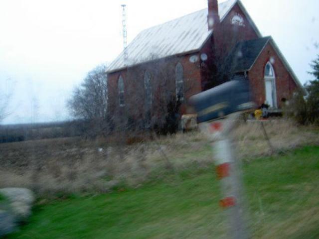
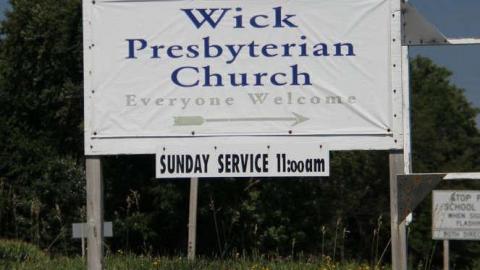
Wick- Scottish hamlet that existed at the corner of Concession 2 and Highway 12. It was located just south of Blackwater (Blackwater did not exist in 1877 and is Brock(a)s youngest village). Wick(a)s 1st school was a log building built in 1840. It still has a school and church to the east. A tiny train station to the west on the Toronto Nipissing Railroad existed. There was a hotel, post office, and wagon maker nearby. It was home to famed humanitarian, George Ernest Bott, who was immortalized in the film "Quest for the Samuari Saint". Lucy Maude Montgomery lived just west of here in Leaskdale.
1869 info. includes this: A village in the township of Brock, 29 miles from Whitby. Population about 20.
Carmichael, P., hotel keeper; SHIRE, CALD, Merchant
Derryville- existed at the corner of Concession 11 and Highway 12, near Cannington. It had a church on the NE corner and a Grist Mill at the far west side. An Orange Hall was built later.
1869 info. includes this: A village in the township of Brock, 36 miles north west of Whitby. Population 50.
ALLIN, THOMAS, carriagemaker/postmaster, Harrison, W., farmer, Lighton, K., farmer, Allin, J., blacksmith, Liviston, T., timber dresser, Bambry, T. farmer, Lughton, A., farmer, Bennett, J., mason, Malone, J., gentleman, Bowen, J., Hotel keeper, Medcalfe, G. & Co., farmers, Clayton, S., farmer, Medcalfe, J., farmer,Cowen, W., farmer, Profit, H., miller, Curtin, J., farmer, Ross, A., carpenter, Dure, J., mason, Scelton, H., farmer, Edwards, E.,farmer, Short, J., farmer, Edwards, J., farmer, Stronock, W., gentleman, Ewertt, W., farmer, Valentine, T., farmer, Francis, J., farmer, Walker, T., farmer, Francis, W., farmer, Whiteside, T. R., merchant
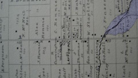
Layton- existed just east of Wick at Concession 2 and Sideroad 18. It was the largest hamlet of the 6. It had a Methodist Church (to the north) where its local musical band once practiced. It also had a mill to the east. The post office, built 1847, was on the SW corner and still stands to this day.
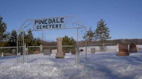
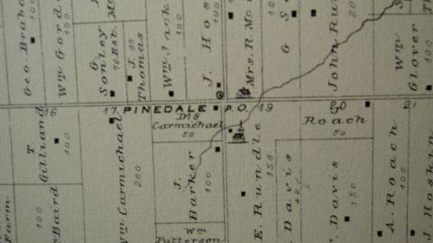
Pinedale- sat north of Layton at Concession 4. Its church and cemetery still exist, as does its school on the NE side, which has been turned into a beautiful home. Its Brick Kiln was to the south. The post office was on the SW corner where a giant field stands today.
Check the images from the 1877 Beers Map of each. Enjoy the modern photos taken March 2010.


