About this location
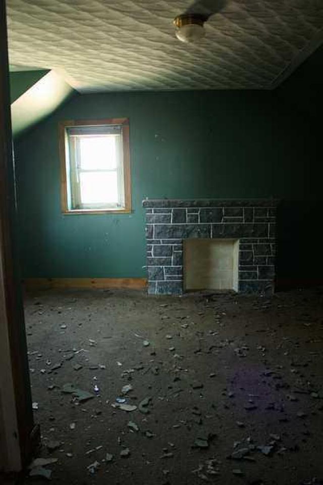
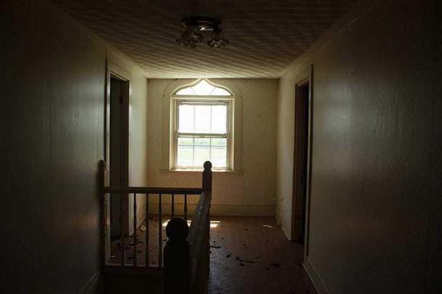
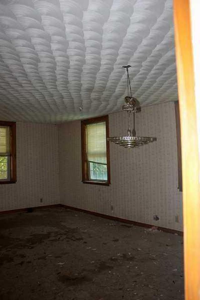
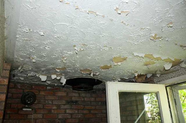
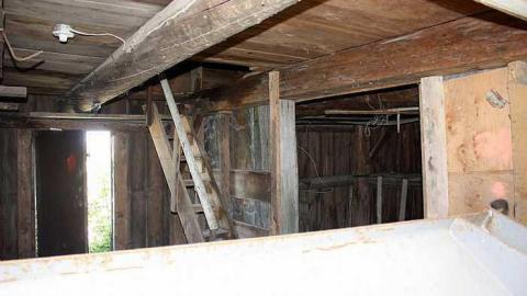
A home built in 1863 with "no historical significance" for the city which will be demolished for "construction and Demolition waste recycling facility and non-hazardous waste transfer station industrial, commercial, institutional, and residential waste." The floors were soft and the odor of animal occupancy was evident.
According to the archeological report submitted for the development planning:
" This lot was the home of the Mulligan family for over one hundred years. Thomas Mulligan and his wife, Dorothy Leatham (Letham) emigrated to Canada from County Cavan, Ireland about 1820, along with their children. They spent their first eight years at Eardley, in the province of Quebec, before moving west across the Ottawa River. Thomas Mulligan received the Crown patent for the East Half of Lot 6 in May of 1828, and his son John received the West Half the following month. By 1851, the Mulligan enclave included John Mulligan, his wife, their seven children, her sister, and his widowed mother. The second Mulligan household consisted of Nathaniel, his wife and their five children. Both families lived in log houses at the time5, though these were subsequently replaced with more substantial dwellings.
By mid-century, the property had several houses on it, as well as a School House at the corner of the Carp Road and Richardson Side Road. There were two houses on the frontage of the Carp Road. In 1863 they were occupied by Mrs Keenan and an unknown person. By 1878, Mrs. Keenan’s house was occupied by John Mulligan, the owner of the parcel. The other house has the initials D.S. next to it. Both houses are shown in separate boxes suggesting that they had been carved out of the main Property.
In 1863, Walling’s map shows a house in the south east quadrant of the lot, along the Richardson Side Road frontage. This lies in the same position as a currently existing farm. In 1863, it was the farm of N and A Mulligan. These initials stand for Nathaniel and Albert, his son. By 1878, the East Half of the lot had been subdivided between Nathaniel (southeast quarter) and another of his sons, George. There was no house on George’s portion."



10 years ago
Nice location.