About this location
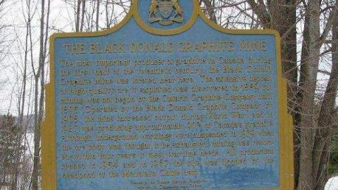
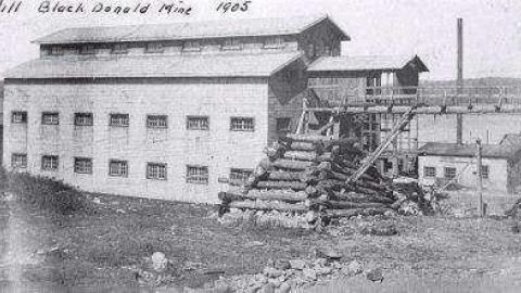
The Black Donald Mine was opened after Ontario(a)s richest deposits of graphite were found here in 1889. A town formed around a former lake called Whitefish Lake. The Ontario Graphite Company began extracting the graphite in 1896, and the mine operated until 1954.
The company built a town on the lake in the Black Donald Mountain Range of Renfrew County. 105 families lived here rent free in the homes built for them. After World War 1 there were 77 buildings with a population of 200.
By the 1960(a)s a monstrous hydro dam project buried half the town under water and a new Black Donald Lake was formed on the Madawaska River.
To get here from Calabogie, take Calabogie Rd. west, turn left on Hydro Dam Rd., turn right on Graphite Rd. and follow to the end.
To see a topo map from the early 1950(a)s that shows all of Black Donald(a)s buildings prior to the dam project check this link: http://maps.library.utoronto.ca/datapub/digital/Self/Scan5340.JPG


