About this location
Living in Odessa, I find myself back in these woods all the time. I found these a long time ago and figured it was about time I shared it with the public.
In the middle of the woods there are some ruins. Given Odessa's strong milling history, I can only assume it was something to do with that type of industry. Wether it was an actual mill or some other kind of related building, it is a very interesting spot to visit. However, I've done lots of research, but have not actually found anything about them yet.
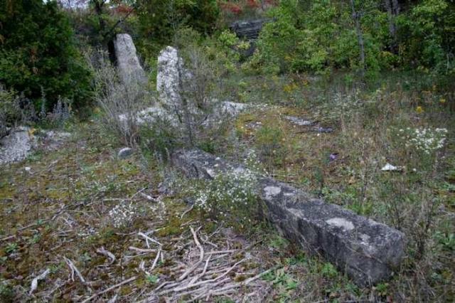
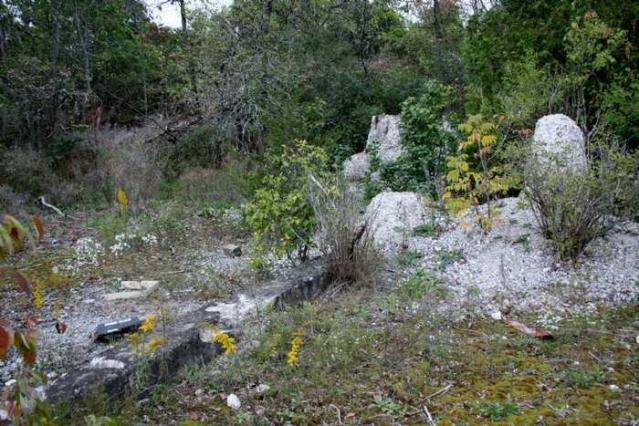
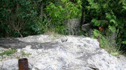
The main part of the ruins and old foundations is down below in a big pit, below the main level of the rest of the forest. Be careful around the rock face. It drops off rather abruptly The old ruins have multiple rods, knobs, gizmos, and other various metal things protruding from them, as well as two long concrete pieces that lay there.
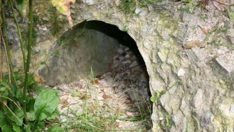
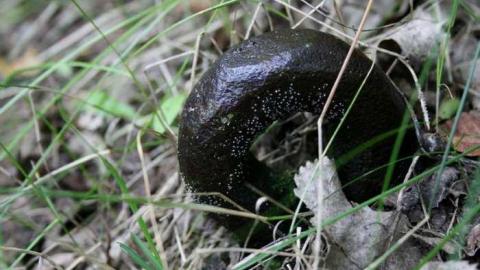
If you enter from the other end and walk down the path along the water, you will come across another section of the ruins that I had only just noticed recently. These can be found at N44 16.467 W076 42.997. These are very cool because there are metal rings in the ground and more concrete and foundations which look very aged and are completely covered in moss.
These ruins extend a lot farther than I thought and it is a lot of fun to explore the woods and see what else you can find and to realize just how big this structure used to be. I'm sure there's more out there for you to find, all you have to do is walk around and keep your eyes open.
Happy hunting
Albums 1
Comments
Comments
Please log in to leave a comment
maybe they built a canal as a secondary water supply for the saw and woolen mill and this was a control bridge...But I doubt its parking lot B on the map..it would have been deeper in the valley by the secondary creek
Neat public location to help whet the appetite of potential new members from the Kingston area.
I looked over that map. Pretty interesting to see. I'm pretty sure these ruins are in 'Park lot B'
this old map shows the area in 1878...http://www.historicmapworks.com/Map/CA/1805/ u can see a grist mill, 2 sawmills and woolen mill...the property u are looking for though is on the Wiseman property...there is a side creek so maybe that was a bridge after all...but if your red dot is too far NE then I can guarantee u found either the sawmill or the wollen mill
Thanks. That was my initial thought too but I was told before that someone thought it was a bridge. I had no other sources and no prior knowledge about this, so that's what I went with. I guess it pays to listen to your gut instinct. Thanks again :)





12 years ago
I still think it is. I compared the posted coordinates to the maps. The ruins are between Belle Ave and North hill st. (john st.). It seems to be right near lot 6 in 'Park lot B'