Hazards
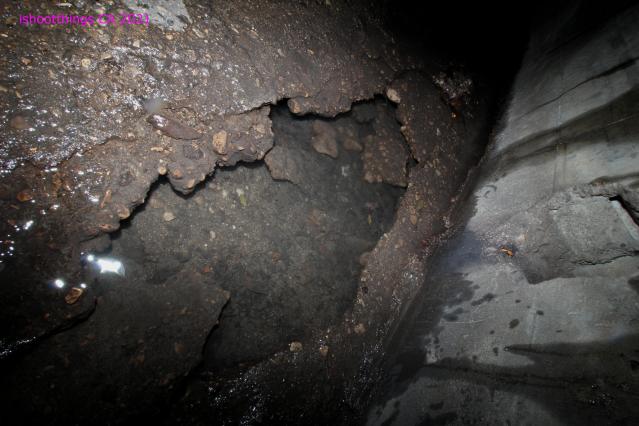
Air Quality - Confined spaces, and car exhaust and other fumes. BAD Flooring - There are a few DEEP holes in the floor of the older section of the RCB (after the first limestone wall) Flooding - ACTIVE STORMDRAIN. They just routed the creek into it as well. Sharp Objets - Could be glass, could be discarded sharps. Could be the rotted section of the CMP you missed and tore your boot on. Anything is possible yo. Animals & Insects - This is a trash Panda highway, and the home of those moldy moist white spiders. Of course this is a hazard. PEOPLE ARE NOT A HAZARD. This was all in the media about educating people as to the effects of modern society on the water quality and so on ect...
History
This stormwater drain carries the remnants of ''Pond Creek". It is among a SHOCKINGLY large amount of creeks and streams and bodies of water that were displaced and generally buried underground. Like Mill Creek in Galt, Cambridge, the section that runs underground had virtually no trace above ground unless you know what your looking for. I had to walk it a few times. This appears to be the same. VERY deep underground compared to the ones in my neck of the woods. IF I WERE TO OVERLAY HISTORIC MAPS, I could pinpoint WHEN it was buried approximatley, as the information is not known from what I could find from Google. ElectricEagle says: the Creek was first partially buried in the 30s, then completely buried in the late 40s. The limestone you'll run into a few hundred meters in, is 70 years old at least, beyond that even older
About this location
TERMS/Definitions
CMP - Corrugated Metal Pipe.
RCB - Reinforced Concrete Box.
RCP - Reinforced Concrete Pipe.
RCB Slide - An RCB, that is on an angle down, creating a "Slide" for the drainage. (NOT FUN to go up or down generally)
I think that is about all.... CREDITS for pulling the abbreviations based on the AOTU entries...And Google work. Not their terms, but never would I have known.
I had started this thinking that the Tri-Cities didnt have any larger tunnels. I was wrong. I first shot this with a kit lens (18-55mm) and a higher water level in Summer 2019. I had a car and could get here MUCH easier, but the time was harder to find. Ripping thru gas, yup. Dont miss that part. But the convenience.
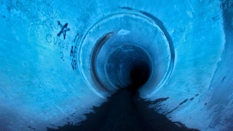
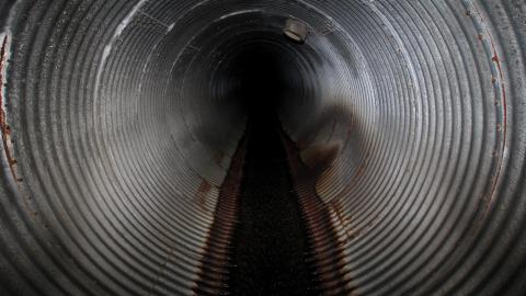
This starts as a backbreaking walk up a RCB then there is a fork, with the RCB Slide on the right, and the CMP that opens up in front. I walked up the CMP. Careful to look for the water shooting up (I DID shoot it, but its hard to gauge context) at the rotted part. I assume its sharp. Then it warps to a RCP with a "Ledge" that has a access that is capped TIGHT on both ends. This is sewage that runs parallel to the storm water/buried creek. If you stop, you can hear the chunk of the flow....
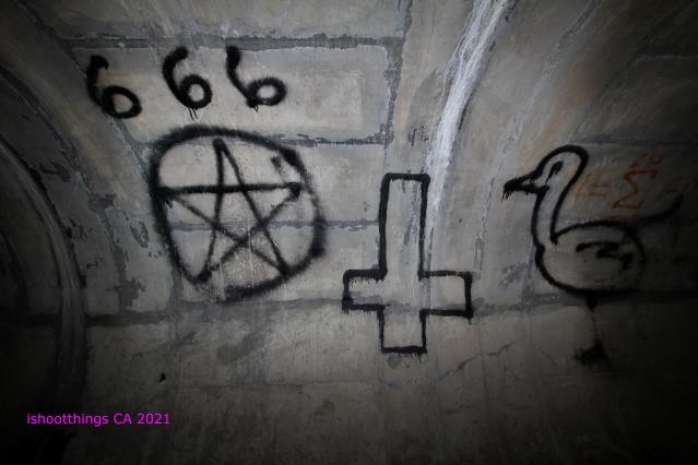
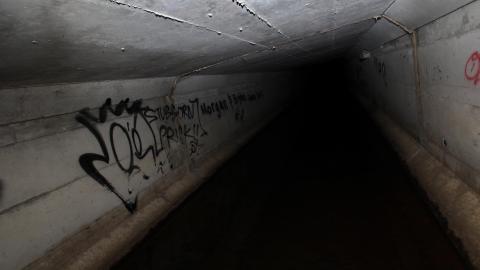
Inside this section there is a great amount of GREAT LIFE ADVICE and words to live by. "Kick Harpers Ass" & "Foxy As Fuck" being ONLY 2 of these brilliant sayings. After this there is more RCP and then a fork with a pipe I did not enter as its too small for me to bother. Ahead I go and on the right was a pipe that was not all that long and only had a trickle. There was a cylindrical chamber with access to a second level with another RCB (Backbreaker) that went around a few curves until it ended at a sediment collector.
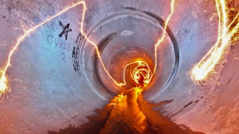
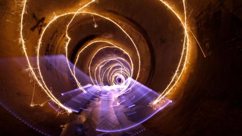
I turned around and headed back (made some light paintings) and hit the RCB Slide. I had noticed that it had a rope! MINT. I go back and with the second look, rope is confirmed. No idea the age either, so I went up. VERY hard to do without getting you, your equipment (around my neck as it was) and your backpack (with far more items than you should have in a damn drain) WET. I got a drop on my lens and had to edit a drop out of many photos. I think it was light painting at the chamber. At the top of the slide, is the first indication of the buried pond, as opposed to storm water. Limestone wall greets you on the left side and a solid stone floor (could be older worn dirty concrete too). This is a nice scene. I was pushed to go further, but I never found the SECOND old section. Possibly a third. But I WILL be back. The rest of what I travelled after the limestone wall where the old met the new, was a absolute backbreaker and slightly hellish. Debris falling from the concrete ceiling, with what appears to be a patch of some kind, peeling off every so often. This is NOT for the people who dont like tight spaces, humid air, and truly wondering if you will be able to make it out after going in. VERY physical. I felt the burn. You will too. But there is FOR SURE MORE UNDISCOVERED GOLD (by any member of this website) in this buried creek.
Worth going back. It was nice to mash my Nintendo DS down there and get my fix of Final Fantasy III and pot smoke. Just relaxing place. As long as its not raining or melting fast. WHEN IT RAINS, NO DRAINS. And I ALWAYS check the weather. It can change, but if there is even a slight chance of rain or melt, I begrudgingly stay away from drains, no matter how inspired Im feeling.
Albums 2
Light Paintings Vol XII
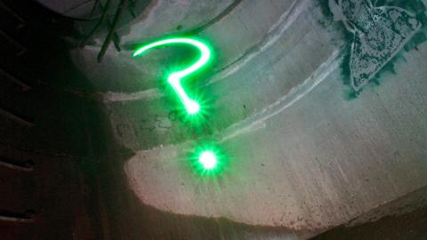
Just a few light paintings. Had to do some question marks. Its ma thing.
Comments
Comments
Please log in to leave a comment
The arch is what I wanted to get to. LOL. Whenever I make it there next. Ive been to the limestone bridge as well, and did a fair amount of reading over time, but I am going to get back for sure. WICKED place if your into drains and infrastructure.
This is just amazing, not much in southern Ontario (outside of Hamilton and Toronto) that is like this drain. I am really curious as to the distance you think you traveled inside.
ALMOST 1.5 KM. Its a pretty good one. No "Junctions" like I think of them in the Tri-Cities. Interesting. Talking to a buddy, they mine limestone at the quarry in the area, so the limestone makes sense to integrate into the build. BUT I WONDER, how far underground (depth) I was at some points.






4 years ago
Being that Guelph is so hilly, where you entered is a good 30 meters below the part of the creek that went under the old Paisley road bridge. To add to your history, the Creek was first partially buried in the 30s, then completely buried in the late 40s. The limestone you'll run into a few hundred meters in, is 70 years old at least, beyond that even older. Did you make it to the archway? Really spooky stuff. If I had to guess it's at least 20 feet underground. It ran through what today is the backyards of Lyon Avenue, one house still has a limestone bridge in its backyard, then travelled through today is parking lot and tennis court of GCVI, on the west side of Yorkshire, then banked to the east side of Yorkshire at Cork street. I went to GCVI and the art rooms always had cracking on the walls and experienced small floods in the past. Would the map a few scrolls down this page be helpful for navigating? https://www.chijournal.org/C374