Hazards
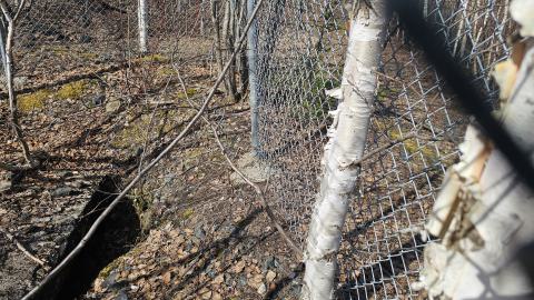
There are two holes that have been fenced off that could present hazards. Stability of the ground around them is questionable.
Given that the location is in a forest, bear encounters animals remain a risk.
The access road is overgrown and sometimes flooded so care should be taken when heading to the site
History
(Summarizing of the geology Ontario pdf linked above)
The Potter Doal mine was discovered by Paul Doal from nearby Matheson to the South West of the location in 1926.
Development began in 1927, with drilling and the subsequent sinking of two shafts, one vertical, and one inclined, and gold and copper were extracted until 1930.
The site has since been sporadically explored by other junior mining companies conducting surface exploration/drilling but no further developments have come of the mine.
About this location
The Potter Doal mine is a small minesite located north east of Matheson ON, accessible from Neely Road off Hwy 101. The access road that branches from Neely Rd directly to the site is on the left at a fork intersection. Continuing directly down Neely Road will instead bring you to the Headman Mine.
The access road is overgrown and a beaver pond at the beginning has caused flooding. An ATV or simply walking would be best. The site is about 2km from the fork.
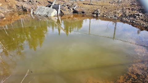
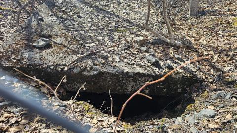
The main feature of the site itself is the pile of waste rock on top of the outcrop where the mine shafts were sunk. The shafts are both surrounded by chainlink fence, and are full of water,
There is a pool of water partly obscuring what looks to have been the inclined shaft but old timbers and a cement block are visible. The verticle shaft is simple covered by another cement block.


.jpg)
.jpg)


.jpg)