About this location
Today, the Rouge River Valley flows past Rouge Park, which is considered to be the largest urban park in North America. The park is located in the north-eastern part of Toronto. Overall, the park contains 5000 hectares of land.
In the early 1800(a)s the valley was a popular location for lumbering operations. The Rouge River, which empties into Lake Ontario, was used to power the sawmills which processed the lumber. This lumber would be used in the construction of homes for new settlers to the area. In time, a grist mill, shoddy mill and a distillery mill were constructed along the river.
From 1810 until 1856 a ship building business was established which took advantage of the plentiful supply of lumber. When the Grand Trunk Railway came through in 1856, the need for shipping good by boat became obsolete. The railway also made the Rouge Valley accessable to vacationers.
Rosebank
In 1862, William Cowan Sr. the son of Henry Cowan, bought two lots of land on the eastern side of the Rouge River. Here he built a farm which would be named "Rosebank".
The farm (also known as Rosebank House) grew to include a dance hall, picnic area and campground which could accomodate over 100 people. This became a very busy vacation spot for travellers. Soon Rosebank had seven passenger trains a day!
Rosebank saw electricity arrive in 1911 and it(a)s post office established in 1916.
West Rouge
The Western side of the river was simply named West Rouge. It had a post office established in 1879, Methodist church and three general stores.
Hillside
In 1872, a local miller named William A. Milne built a Gothic style home on the hillside of the Rouge River. This area became known as "hillside". Today it can be found at Old Finch Avenue and Sewells Road. A school house was built in 1872 and the Methodist church was built five years later.
When Hurricane Hazel hit in 1954, the river rose to almost 14 feet and wiped out many railway bridges and homes. In the interest of public safety, the government bought up the land and forced residents to move. Much of this land remains in Rouge Park to this day.
In 1995 the government and private property in Hillside were incorporated into the Rouge Park Conservation area.
Many of the old farms are still occupied today while some are vacant.
Directions:
Follow the map to a road that you take until you reach an opening to a forest.
The forest itself has no abandoned places, but if you follow the "lower path" straight down to the river (heading east), you(a)ll see a chimney that is the only part left of a house.
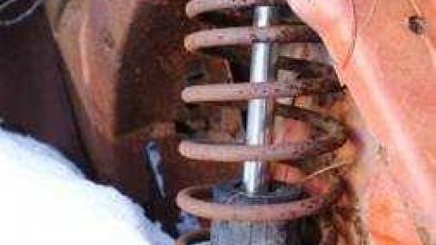
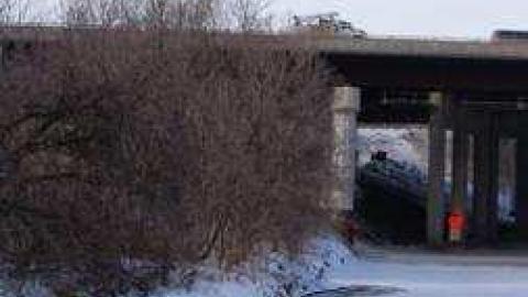
The other side of the river has a lot more to offer, with random old cards rusting around. There is also a couple of storm sewers that are amazingly fun and scary to walk through.


