

About this album
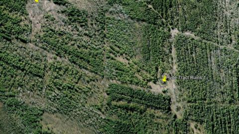
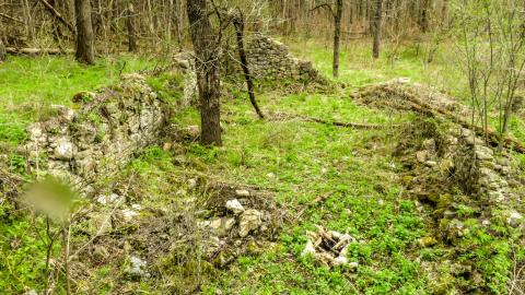
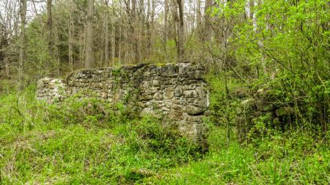
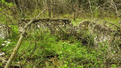
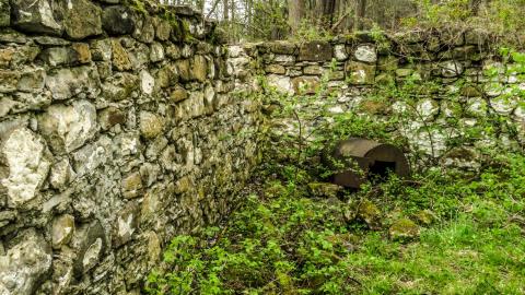
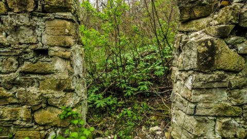
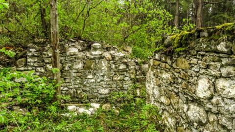
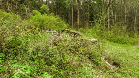
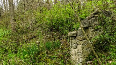
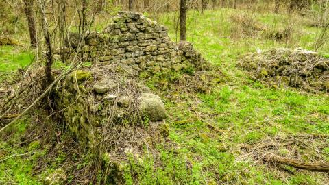
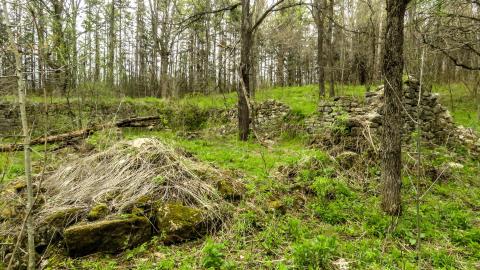
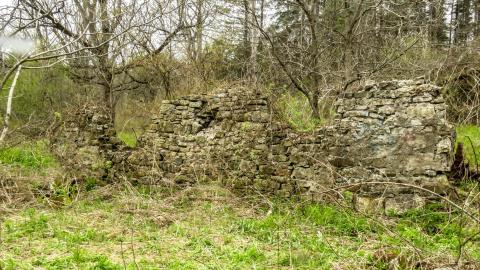
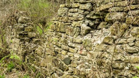
The Hyde Tract is a densely forest, 350-acre (142 ha) parcel of Crown land near Hamilton/Flamborough with a network of trails used for hiking, mountain biking, and horseback riding. Along the 2 km loop are several locations of historical ruins, including a former homestead and a large concrete structure. The map tag is only for parking: you will have to hike to the actual ruins. The gallery looks like a whole bunch of photos of the same thing, but they're from multiple locations throughout the property. The largest ruin locations can be found at N43.340003°, W80.142803° and N43.338551°, W80.137413°. There is an aerial photo in the gallery with the ruins tagged so that you can get a visual on approximately how far you will need to walk. There is a geocache hidden in the furthest ruin. The link for the cache page is attached.
1 month ago
Neat find!